
I first put the kids into groups of 3 or 4. Then, they used a landform map in their Social Studies book to sketch where the mountains and deserts are located. This just helps them get a start when they begin painting the plains on the map.

After they have an idea of where the mountains and deserts are, they paint all of the remaining area green. This shows where the plains are located. (The hills and rivers are placed over top of the green paint in the next few steps!)

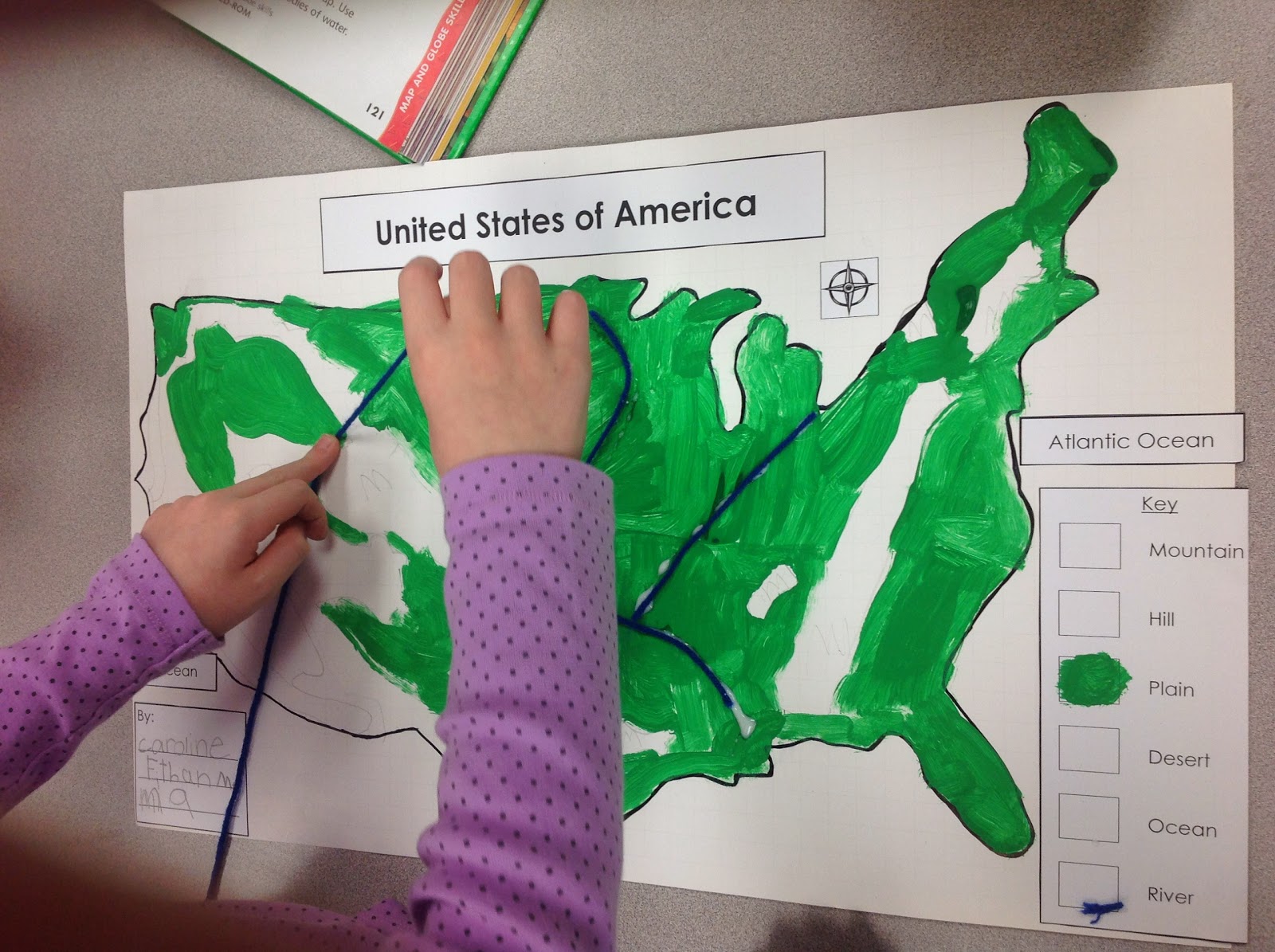
Next, we used blue yarn for the rivers. We obviously didn't add ALL of the rivers but just some of the major ones- Mississippi, Ohio, Missouri, Columbia.
The mountains were the most tempting item to add to the map! The kids were just about drooling as they glued them down. Just a quick note- if you remove the wrapping before gluing the kisses down, they stick better!

Marshmallows were used for the hills, gold glitter for the desert (I've used brown rice in the past but the glitter stuck MUCH better!) and goldfish for the oceans.

Each time the kids added something new to the map, they also added it to the key on the right. Their maps also included a title, compass, labels for the oceans, and a box to sign their names. I am so proud of all of the hard work that my kiddos put into these maps! They were rewarded with some of the extra snacks which they were THRILLED about =) So fun!
If you'd like everything to make these 3D maps, check out my product below by clicking on the image.

If you are looking for other engaging landforms resources, check out my Let's Explore Landforms! {And Bodies of Water} unit. This unit compliments the 3D landform maps perfectly!

Happy teaching!


